Yala National Park is the most popular wildlife reserve in Sri Lanka.
Understanding your location is important, as is understanding the map, which will help you plan your safari better.
This guide will help you know the location of the Yala National Park map update 2025, as well as what the map looks like.
Where is Yala National Park?
Yala National Park is situated in the southern part of Sri Lanka.
The national park covers two provinces.
Uva Province, Southern Province.
Some of the districts are covered by the national park.
District of Hambantota.
District of Monaragala.
Tissamaharama is the main town nearest to the national park.
This town is the main point of departure for most safari tours.
Other towns and cities around Yala National Park
Tissamaharama
Kataragama, Kirinda, Hambantota, Buttala
Yala National Park Map Overview
Yala National Park is divided into different blocks.
Each block has different levels of safari operations.
The map shows the following:
Safari zones
Entry points
Water points
Roads
Conservation areas
Yala National Park Blocks Map – 2025 Update
Block 1
This is the most popular safari zone.
This block has the highest density of leopards.
This is the main focus of the tourist
Highest leopard density.
Main focus area for tourists.
Block 2
Less crowded compared to Block 1.
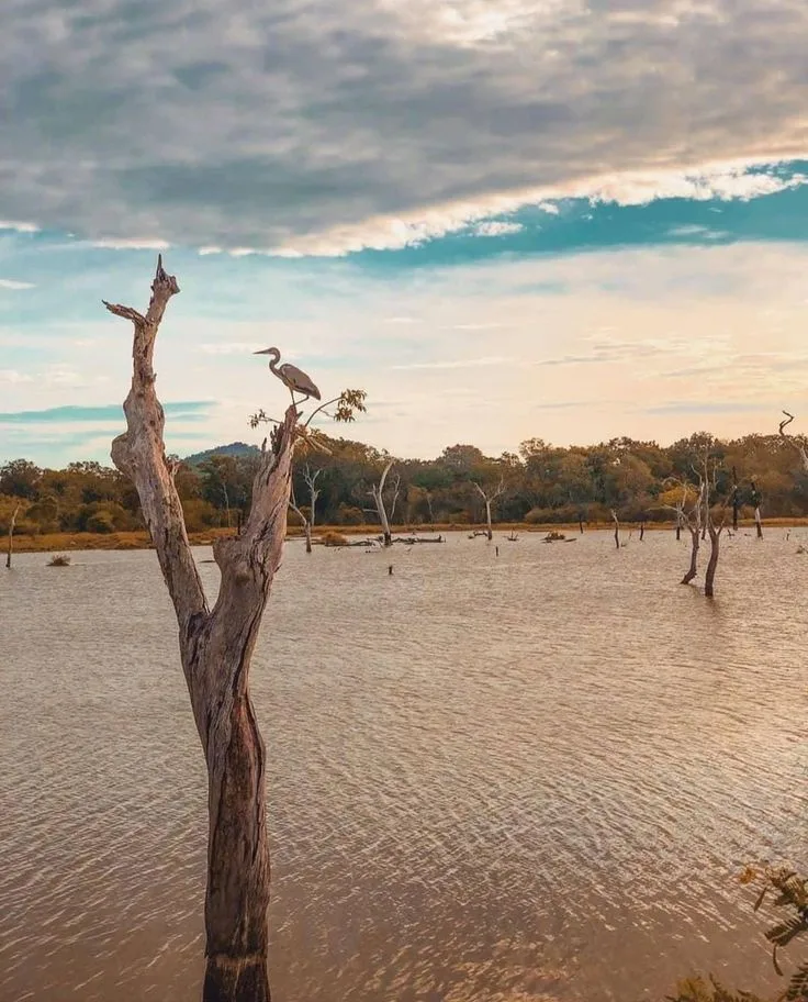
Good area for viewing elephants and birds.
Safari access is limited.
Block 3 and Block 4
Mostly restricted conservation areas.
Limited safaris take place in this area.
Used mostly for wildlife conservation.
Block 5
Recently opened for controlled safaris.
Very quiet area with nice views.
Good area for nature lovers.
The 2025 map has better separation between high-traffic areas and low-traffic areas.
Yala National Park Entrance Gates Map
Palatupana Entrance
The main entrance gate and busiest area.
The closest entrance to Tissamaharama town.
Used mostly for safaris to Block 1.
Katagamuwa Entrance
Used as an alternative to the main entrance gate.
Good access to less crowded areas.
Galge Entrance
Remotely located entrance point.
Used mostly for safaris to Blocks 3 and 5.
Good area for low-traffic safaris.
The 2025 map has clear access routes to each block.
Distance to Yala National Park
From Tissamaharama – 20 km
From Ella – 90 km
From Tangalle – 75 km
From Galle – 190 km
From Colombo – 300 km
The best way to use this map
Choose the entrance gate based on the hotel you are staying.
Choose the safari block based on the wildlife of interest.
Block 1 for leopard.
Block 2/5 for elephants and birds.
The updated 2025 map helps to reduce congestion.
It helps to improve wildlife movement.
Conclusion
Yala National Park is located in southern Sri Lanka, close to Tissamaharama.
The updated 2025 map helps to improve the zoning of the safari.
Knowing the map and the location helps to plan a smooth safari.